
Residents of Akron and the broader Northeast Ohio region should prepare for a significant shift in weather patterns later this week. After a calm and cool Wednesday, the area will experience a surge of chilly rain and gusty winds on Thursday. This unsettled weather is expected to bring the first snowflakes of the season to parts of the region by Friday.
The week begins with a mostly clear and starry night, allowing temperatures to drop into the 30s for much of Northeast Ohio. Cloud cover will increase overnight and into Veterans Day, signaling the start of a changing forecast. On Wednesday, the sun will be obscured by clouds, though temperatures will remain mild with highs reaching the upper 50s and low 60s. Those attending the Veterans Day parade at 12:30 p.m. are advised to bring a jacket, as conditions will be cloudy and cool, though rain is not expected during the event.
As Wednesday evening progresses, a few showers will begin to appear. Rain intensity is expected to increase by midnight, with pockets of heavy rainfall possible into Thursday. Thursday is forecast to be the rawest day of the week, characterized by chilly rain and strong gusty winds. High temperatures on Thursday will hover around 47 degrees. With northerly wind gusts reaching approximately 30 mph, the wind chill will make the air feel even colder than the actual temperature.
Lake Erie will play a role in intensifying the precipitation, giving the showers extra force. As temperatures fall by Thursday evening, the rain will transition into a wintry mix. By Thursday night and into Friday, snow showers are likely to develop. Friday will be significantly colder, with highs struggling to reach 40 degrees. Although the upper atmosphere is cold enough to form snowflakes, many will melt during their descent to the ground.
However, some flakes may not melt completely before reaching the surface, creating a mix of cold raindrops and large, wet snowflakes. This combination is unlikely to cause major road impacts, leaving surfaces primarily wet. The event is more likely to be a memorable first sight of snow rather than a significant accumulation event.
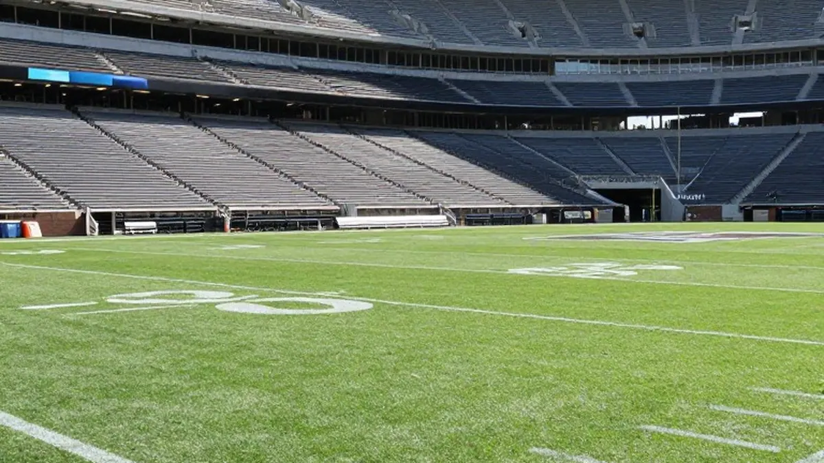
The chilly conditions will persist through the weekend. Saturday will feature fewer lake effect rain or wet snow showers, with highs around 44 degrees. Sunday offers a slight improvement with more sunshine and isolated lake effect showers, keeping highs near 45 degrees. Fans attending the Browns game should dress in layers, as the weather will provide typical November football conditions with temperatures in the 40s.
The wintry precipitation is expected to linger the longest in the Snowbelt Region, which includes Lake, Geauga, and Ashtabula counties. In this area, showers could persist until Monday. The Akron-Canton Region, comprising Summit, Stark, and Portage counties, is also part of the five distinct weather zones used for hyper-local forecasts.
The five-day outlook for the region is as follows: Wednesday will be cloudy with a high of 59 degrees. Thursday will bring soaked conditions with chilly rain and a high of 47 degrees. Friday will see continued showers and the potential for the first flakes, with a high of 40 degrees. Saturday will feature lake effect showers and a high of 44 degrees. Sunday will have isolated showers and a high of 45 degrees.