
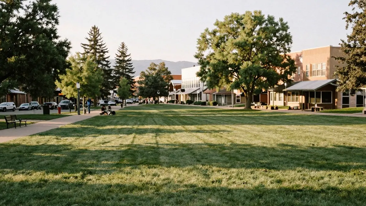
Rain and fog that lingered across southern Colorado on Monday morning are moving out, and forecasters at KOAA News5 say sunny skies will take over for the rest of the day and carry through the week.
Temperatures early Monday were in the 40s and 50s across much of the region. The fog should lift by 8 a.m., and afternoon highs along the I-25 corridor are expected to reach the 60s.
In Pueblo, patchy fog was the main concern in the morning, with temperatures in the upper 40s and lower 50s. The city should see a high of 64 and a low of 40. Forecasters describe the afternoon as very mild, with highs eventually reaching the mid-60s, and say the pleasant pattern will hold all week.
Colorado Springs is forecast to reach 60 with an overnight low of 37. Clearing is expected later in the morning, with sunshine through the day and south winds of 5 to 10 mph. Canon City has no active weather and is expected to stay quiet all week. Its high should reach 63 and its low 38, with southeast winds of 5 to 10 mph.
Higher up, Woodland Park started the day chilly, in the upper 30s and lower 40s. The forecast calls for a high of 54, a low of 34, plenty of sunshine and winds of 5 to 10 mph. In Monument and the Tri-Lakes area, moisture moving out has left some wet roadways. Sunshine should dry them during the morning and afternoon, with a high near 58 and a low of 34.
The eastern plains began the day in the 40s and should warm into the 60s under returning sunshine. Highs there are expected to stay in the 60s and 70s all week, which forecasters say looks much calmer than last week. Along the southern I-25 corridor, Walsenburg and Trinidad woke up to temperatures in the 40s and a few clouds. Those clouds should clear by late morning, with highs of 62 in one location and 64 in the other and a low of 36.
In the mountains, snow showers that moved in are already clearing. Highs there should reach the 50s, with lows in the 20s and 30s. Sunshine is expected to last for several days, though morning lows will keep dropping close to freezing.
Looking further ahead, the extended outlook keeps sunny and calm conditions in place, with highs in the 60s along I-25 each day. Forecasters say Halloween looks nice, with afternoon highs in the lower 60s. The next weather system is not expected to arrive until Sunday and Monday.