Southern California is preparing for the arrival of a powerful winter storm that has already established new rainfall records in the northern part of the state. Local officials in Los Angeles have urged residents living in the Palisades, Hurst, and Sunset burn scar zones to evacuate before the storm hits on Thursday. The primary concerns in these areas are the elevated risk of debris flows and significant flooding.
The atmospheric river system first impacted the San Francisco region on Wednesday, delivering heavy precipitation and strong winds. The rainfall intensity was sufficient to break a record previously set in 1917. In response to the severe conditions, the city's fire department handled hundreds of emergency calls. Many of these incidents involved flooding, while others were caused by downed trees and exposed electrical wires.
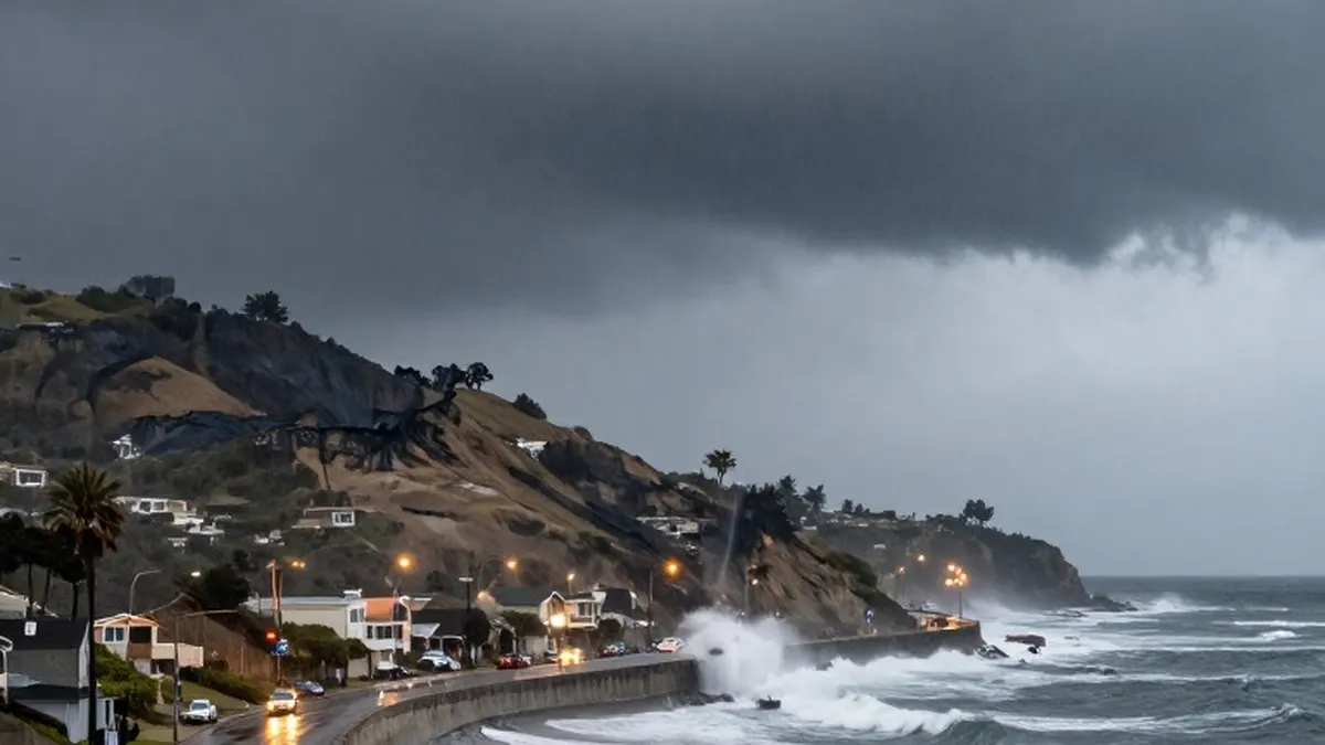
The storm also disrupted air travel, with flights at San Francisco airport experiencing delays of several hours due to high winds. Coastal areas along the Embarcadero experienced flooding as waves crashed over barricades that had been recently installed near the Ferry Building, a prominent waterfront landmark. Due to the hazardous conditions, officials canceled several ferry services operating out of the city.
Across the broader region, tens of thousands of households lost electrical power. Major transportation routes were also affected, with several highways in Napa, Marin, San Mateo, and Santa Clara counties blocked by flooding or debris. As the weather system moved southward, a segment of Highway 1 near Big Sur was forced to close to traffic.
Overnight, multiple roads in San Luis Obispo and Santa Barbara counties became inundated with water. In Los Angeles County, authorities issued specific evacuation warnings for residents in areas that experienced wildfires in recent years, such as the Palisades and Altadena. Officials also warned of potential flooding along the coast, in specific canyons, and near various waterways.
Mountainous regions faced their own challenges, with heavy snowfall forcing the closure of highways in the Tahoe area. Forecasts indicated that snow accumulations of up to four feet, or 1.2 meters, could be seen through Friday in the highest parts of the Sierra Nevada.
Atmospheric rivers are massive streams of water vapor that can carry as much or even more moisture than a physical river. In recent years, these weather events have become stronger and more destructive. For the relatively dry western United States, such storms present a dual nature by providing essential precipitation while simultaneously increasing the risk of flooding.
The Golden State is expected to face additional weather challenges in the coming week. Fresh rain is set to coincide with high tides, which could further complicate conditions for residents and emergency responders across the region.