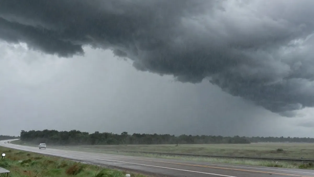
Storms and wet weather could affect voters across the central United States on Election Day, with forecasters anticipating thunderstorms from Texas to Missouri, rain in Iowa and powerful winds across parts of the Plains. The forecast puts several states with closely contested races in the path of potentially disruptive conditions on Tuesday.
Bob Oravec, a lead forecaster at the National Weather Service’s Weather Prediction Center, said the central region is likely to have the country’s most active weather on Election Day. With turnout drawing scrutiny in battleground states, he said conditions could influence whether voters make the trip to cast ballots, depending on their commitment to their chosen candidates.
Forecast models indicate that thunderstorms could strike north central Texas on Tuesday morning. The region is a crucial battleground in the state’s U.S. Senate contest between Democrat James Talarico and Republican Ken Paxton. Oravec said damaging winds, large hail and possibly tornadoes are among the potential hazards associated with the storms.
Although Election Day remained more than five days away at the time of the forecast, Oravec said the National Weather Service was confident about the system’s broad progression. It is expected to cross the West Coast on Sunday before reaching the central states Tuesday. Models are well suited to tracking this type of system, he said, although the timing of the thunderstorm line could shift as the forecast develops.
Strong winds are also forecast for Plains states, including Kansas, Colorado and Nebraska. Clint Alexander, a National Weather Service forecaster in Goodland, Kansas, said sustained winds could reach roughly 20 to 30 miles per hour, with gusts exceeding 40 and possibly 50 miles per hour. He said travel could be affected, including along Interstate 70, Kansas’ main east-west route, while cautioning that uncertainty remains. Kansas has emerged as an unexpected Senate battleground, with polls showing Republican Sen. Roger Marshall and Democrat Adam Hamilton closely matched.
In Iowa, where both the governor’s race and a U.S. Senate contest are close, rain could make Election Day particularly wet. Justin Schultz, the National Weather Service’s lead forecaster in Davenport, said substantial rainfall appears likely in at least parts of the state. He expects the outlook to become clearer over the weekend.
Schultz’s team is not predicting flooding, but it is watching the amount of moisture in the atmosphere, measured as precipitable water. That measurement could reach an all-time high, potentially bringing considerable rain and wet conditions throughout Tuesday. Schultz said atmospheric moisture could approach record levels for this time of year.