
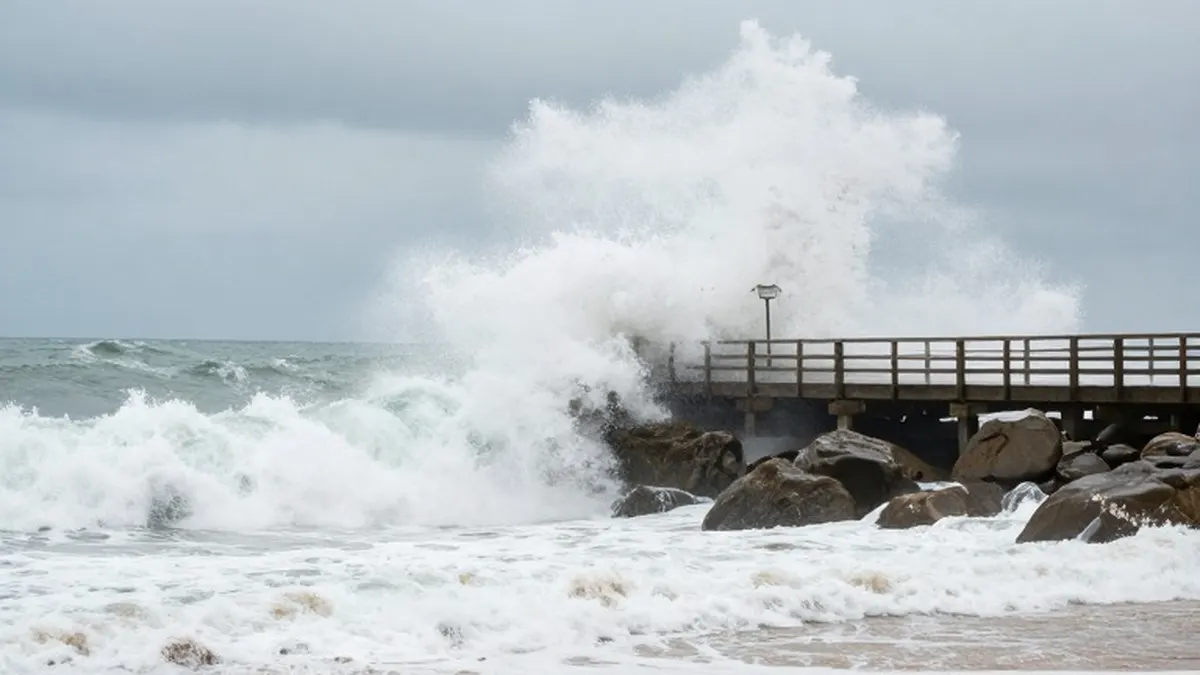
California coastal communities are on high alert this week as a series of low pressure systems have generated some of the largest waves seen in recent years. The powerful swells have forced the closure of beaches and piers, with large breaking waves crashing along the state's coastline since last weekend. National Oceanic and Atmospheric Administration buoys positioned offshore recorded wave heights exceeding 30 feet, or 9 metres, on Friday.
The most significant measurement came from a buoy near Monterey, California, which registered a wave height of 34.1 feet. This reading marks the highest recorded wave height in the last 30 years for that location. Coastal hazard warnings have been in effect since the previous weekend and are expected to remain active until Friday night, keeping residents and visitors cautious.
Forecasters anticipate waves between 10 and 18 feet across the state, with local sets reaching 18 to 22 feet on the central coast beaches of Santa Barbara and San Luis Obispo counties. These Pacific storm systems are also driving unsettled weather conditions across the western United States, bringing heavy rain, mountain snow, and strong winds in the coming days.
The impact of these systems has already been felt inland. San Francisco experienced record-breaking rainfall on Wednesday, while heavy downpours in Sacramento left 32,000 customers without power. Looking ahead to the weekend, another area of low pressure is expected to bring significant moisture to northern California and southern Oregon.
By Sunday night, some locations may see more than 100 millimetres, or 4 inches, of rain. Additional snowfall is forecast for high-elevation areas such as Donner Pass in the northern Sierra Nevada mountains. The combination of precipitation and wind continues to affect travel and infrastructure across the region.
Meanwhile, in eastern India, nearly 72,000 people have been evacuated from areas of Odisha as Tropical Cyclone Akvan approaches land. The India Meteorological Department has issued cyclone warnings for the coasts of north Andhra Pradesh, Yanam, and south Odisha. The storm is expected to make landfall on Friday between Narsapur and Puri.
Meteorologists predict peak wind gusts will reach 70 miles per hour. Rainfall totals through Friday and Saturday could exceed 200 millimetres in northern coastal Andhra Pradesh and Odisha, adding to the challenge for emergency services managing the evacuation and sheltering processes.
In South Africa, severe weather events have also caused significant disruption. Following a level 2 severe thunderstorm warning issued by the South African Weather Service on Tuesday, parts of Johannesburg experienced torrential rainfall and large hail. The intense storms triggered flash flooding and damaged infrastructure in the township of Soweto.
The severe conditions in Johannesburg resulted in one fatality, while another person remains missing. The incident highlights the increasing frequency of extreme weather events affecting major urban centers across different continents this week.