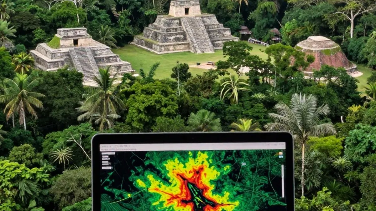
Earlier this week, Google researcher Pietro Miotti announced that a team of AI agents had identified a potentially unmapped Maya site in Mexico. The claim quickly unraveled: the location had already been found and described in an academic journal more than a year earlier. The episode has drawn criticism from archaeologists online and highlighted a widening friction in science, as newcomers equipped with powerful AI tools venture into specialist fields without the background needed to interpret what they find.
Miotti said the idea came to him while traveling in Peru, when he started wondering what historical explorers might accomplish with modern technology. He chose lidar, a laser-based method that generates detailed three-dimensional maps, and set 48 AI agents loose on NASA lidar data to hunt for undocumented sites. Because, as he put it, "Peru isn't well covered" by public lidar data, he redirected the effort toward the Maya region.
The agents surfaced numerous candidate locations, including what Miotti described as "one major village [that] doesn't seem to have been registered." He described the work to The Verge as a personal side project that used no Google compute or resources, and said he contacted Mexico's National Institute of Anthropology and History, known as INAH, to ask whether the site was already known, using the agents to translate the correspondence into Spanish. INAH replied that it had no record of a registered site at that spot. "It took less than 72 hours to go from a random thought while traveling to an official reply from the Mexican government. This is by far the best time ever to be alive," Miotti wrote on his blog.
Miotti acknowledged he is not an archaeologist and said the find would require fieldwork to confirm, but he still presented it as evidence that "we're on the brink of a revolution across every science" and urged that the "entire planet" be mapped with lidar so AI agents could "help us find the rest." A researcher familiar with the region, however, would have recognized the problem: the site was already documented in a journal article published more than a year before.
Archaeologists responded swiftly on social media. In posts on Bluesky, University of Alabama at Birmingham archaeology professor Sarah Parcak stressed the need to check findings against prior research. "This is why we have peer review," she wrote, noting that an absence from a government database does not mean a place is unknown or unmapped. Others joined in, accusing the project of spreading misinformation and of overlooking archaeologists who have used advanced digital tools for decades.
"This was a personal project that I was excited to share," Miotti told The Verge. "I didn't expect it to get this much attention." He conceded he had not understood that an unregistered site is not the same as an unmapped one, and said expert knowledge "is needed to verify what the agents find." On why the agents failed to catch the earlier work, he said: "My agents and I missed it. Archaeologists rightly don't publish the coordinates of sites, so checking whether a site is already known means comparing images against figures in papers, not searching a database. That's much harder for agents." He said he updated his post and blog to credit the original researchers once the overlap was pointed out, and added that archaeologists and PhD students have since contacted him, "excited about the workflow and wanting to know how it works."
Elizabeth Graham, a professor of Mesoamerican archaeology at University College London, pushed back on the premise. "Our 'problem' is not discovering new sites," she told The Verge. "Most of us working in the Maya area know about tons of sites not explored or excavated or mapped, most of these found on foot." She questioned the word "discover," since local communities often already know about nearby sites, and while she credited Miotti's handling of the lidar data, she argued the real bottleneck is funding: "There just isn't the funding to excavate or map sites as there was in the past, so in a way it doesn't matter how many more are 'discovered.'"
The dispute mirrors a broader pattern in AI-assisted science, also visible in OpenAI's recent mathematics advances: tools can generate striking results while failing to engage with the literature those results build on, leaving genuine experts to do the work of establishing what is actually new. Ivan Šprajc, a professor at the Research Centre of the Slovenian Academy of Sciences and Arts and a coauthor of the paper documenting the site, said he was not particularly impressed, noting archaeologists have used lidar and "other sophisticated remote sensing tools for quite some time" and that "just spotting something does not add much to our knowledge." Checking with INAH, he added, is commendable but "not sufficient," since the institute lacks complete information. Šprajc also warned of practical risks: "Just today I have received an email from another AI 'discoverer,' so I am a little bit concerned about being flooded by this kind of message," he said, and noted that publicizing site locations could attract looters. "But as long as these findings do not lead to looting, I don't see a major problem."