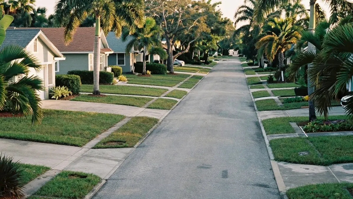
Central Florida is experiencing unusually warm and humid conditions for early November. In the Sanford area, temperatures are approaching 87 degrees Fahrenheit, which is several degrees above the seasonal normal. The combination of heat and moisture has pushed heat indices into the lower 90s, making the air feel warmer than the actual air temperature.
Most of the region will remain dry through the weekend, although there is a 20 percent chance of isolated afternoon showers inland. Friday will mirror Thursday's conditions with highs in the mid-80s and light winds accompanied by an afternoon sea breeze. Widespread rain is not expected, and the weather remains stable for now.
A weak and mostly dry cool front is scheduled to move through on Saturday. This system will shift winds to the north and northwest, but it will not bring significant rain or thunderstorms. Saturday will remain warm with highs in the low to mid 80s. By Sunday, the weather will become more refreshing as humidity levels drop and temperatures cool to the upper 70s and lower 80s.
The comfortable temperatures are expected to continue into early next week. Monday and Tuesday will see highs in the upper 70s. Early morning lows are forecast to dip into the upper 50s in areas northwest of Interstate 4 and the 60s elsewhere. Rain chances will stay low at around 20 percent during these two days.
As an upper-level disturbance approaches, rain probabilities will increase slightly to 30 percent by Wednesday. Despite this increase, severe weather remains unlikely. The extended period of dry weather is a positive development for southern Brevard County and the Treasure Coast, which recently experienced catastrophic flooding on Monday.
While local rainfall has ceased, runoff from that event continues to move north through the St. Johns River basin. This has resulted in a prolonged river flood event. Flood warnings are currently in effect for Cocoa, Geneva, Sanford, DeLand, and Astor. River levels are expected to continue rising over the next several days.
Forecasters predict major flooding at Cocoa later this week, while Geneva may approach major flood stage early next week. Other locations along the river may experience minor to moderate flooding. It is important to note that conditions along the river could worsen even as the local weather remains dry.
Coastal boaters should exercise caution this weekend. An easterly swell will build from four feet today to five feet by Friday. Following the passage of the cold front on Saturday, north to northeast winds will increase to 10 to 15 knots. Offshore seas are expected to reach six feet, creating poor to hazardous boating conditions, particularly in the Gulf Stream.
Meteorologists are also monitoring a disturbance in the central Atlantic. There is a medium chance this system will develop into a brief tropical storm over the next several days. The next name available on the list is Kyle. However, regardless of whether it develops, no threat to Florida or the broader United States is currently anticipated.