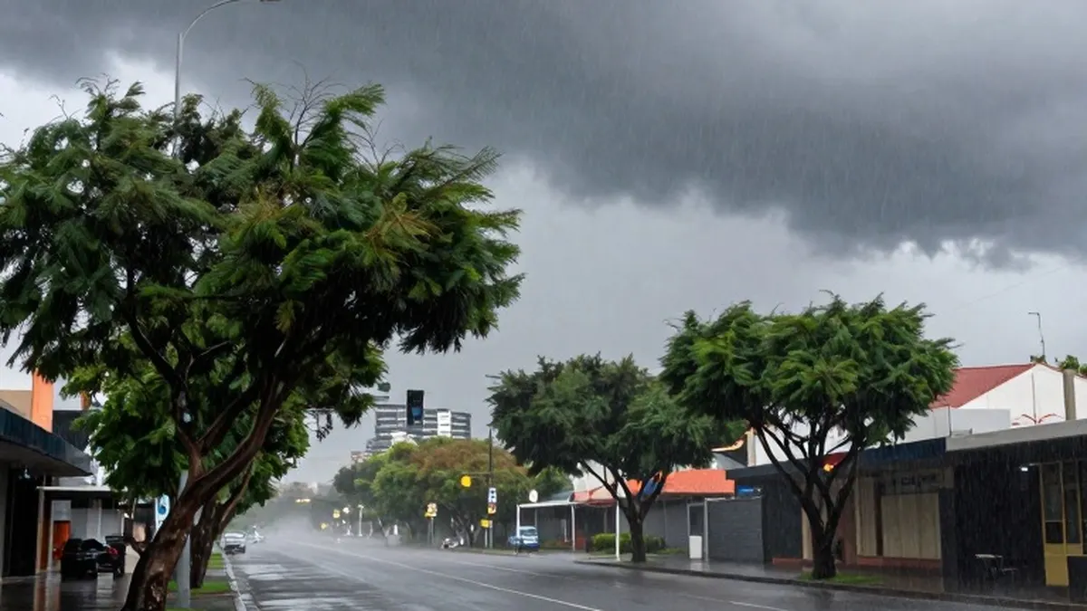
Storm warnings cover several capital cities across eastern and south-eastern Australia as a severe weather front moves across the country. Melbourne, Canberra, Sydney and Brisbane face potential impacts over the weekend, with forecasts warning of heavy rain, damaging winds and thunderstorms as the system advances.
In Melbourne and eastern Victoria, the meeting of a cold front with warm, humid air is expected to produce heavy rain and thunderstorms throughout Saturday afternoon, 31 October. Moderate rain and some lightning were recorded in Melbourne and parts of the state during the morning, ahead of a stronger band of storms forecast for later in the day.
Bureau of Meteorology meteorologist Angus Hines warned that the second band could be more forceful. “It’s this follow-up band of storms which could pack a punch,” he said on Saturday. Melbourne, parts of Gippsland, the north-eastern ranges and north-central Victoria are among the areas expected to be affected, with damaging winds posing the main threat.
The bureau warned that some locations could experience flash flooding and potentially destructive winds exceeding 125km/h, strong enough to topple large trees or damage property. As the front moves east, it is forecast to affect Canberra and inland NSW before reaching the east coast on Sunday and extending into southern Queensland.
Through Saturday evening, the storm risk is expected to spread north across inland NSW towards Queensland’s southern interior. Coastal areas south of Sydney, including Wollongong and the Illawarra, are also within the risk area. Forecast hazards include large hailstones, heavy rainfall and damaging winds, with storms expected in many locations during the middle to late afternoon and potentially reaching coastal areas in the evening.
Attention will move further north on Sunday, when Brisbane is forecast to experience heavy rain and storms during the afternoon and early evening. The broader area of potential concern stretches from Newcastle, north of Sydney, to Gympie on the Sunshine Coast.
Parts of the NSW mid-north coast, northern rivers, tablelands and Hunter region are considered the most likely locations for severe thunderstorms on Sunday. Possible hazards include hail, heavy rainfall, flash flooding and destructive winds above 125km/h. Hines said places that had received heightened rainfall over the previous fortnight were also vulnerable to flash flooding, and urged residents in the affected area to monitor the radar for approaching storms.
A separate severe wind warning covers mountainous areas of northern Victoria and southern NSW. Gusts exceeding 100km/h were recorded there on Saturday morning.