South Florida begins the week with strong northeast winds, passing showers and a risk of significant coastal flooding as King Tides reach their peak, according to WSVN 7News meteorologist Vivian Gonzalez.
Scattered showers are expected on Monday, mostly along the East Coast, with rain chances between 50 and 60 percent. Most places should pick up less than an inch of rain, though a few isolated coastal spots could see 1 to 2 inches. Highs will stay in the low to mid 80s.
Winds will be a major factor. Northeast winds are forecast to hold steady at 20 to 25 mph, with gusts reaching as high as 40 mph. A Wind Advisory remains in effect through Tuesday evening.
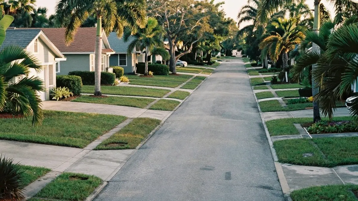
The biggest concern, forecasters say, is the combination of peak King Tides and strong onshore winds. A Coastal Flood Warning is in place along the Atlantic coast through 8 p.m. Wednesday. Major flooding is possible around the time of high tide, particularly in low-lying coastal neighborhoods.
Rising water could flood roads and properties even without heavy rain. Passing showers may also worsen drainage problems in vulnerable areas.
Conditions are hazardous at the beaches and offshore as well. A Gale Warning continues for Atlantic waters, where seas could build to 10 to 14 feet. A high rip current risk remains along Atlantic beaches, and dangerous surf of 10 to 12 feet is possible in Palm Beach County.
Relief will come gradually. Tuesday is expected to stay windy, with scattered to numerous showers. Conditions should begin to improve on Wednesday, and lighter winds and fewer showers are expected Thursday into Friday.
Even so, coastal flooding could remain a concern through the end of the week while the King Tides slowly subside.